Phone:
Phone: 1-509-493-1133
Hours:
Hours: Tues-Fri 8:30am-5pm
Address:
White Salmon City Hall
100 N Main St.
White Salmon, WA 98672
Klickitat County and FEMA continue their outreach to provide information about the updated Flood Insurance Rate Map.
Supporting documents from December 14, 2022 include:
WHY ARE THE FLOOD MAPS CHANGING?
Flood risk changes over time, and mapping technology has improved. FEMA is working with state, county and local communities to use new data and technology to update flood maps. Updated maps will more accurately show the risk of flooding in your community.
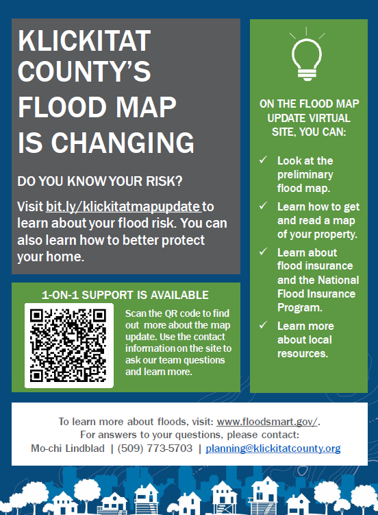
New maps help your community better know its current flood risks. This leads to more informed decisions about how to protect against damage and loss. There is an online resource to help inform residents. Here, you can learn more about these flood maps. You can view this resource by visiting: bit.ly/klickitatmapupdate.
WHAT DOES THIS MEAN FOR ME?
The new flood map is officially known as a Flood Insurance Rate Map. It shows areas of flood risk (high, moderate, low). It will inform financial, planning, investment and development decisions.
Owners of structures in high-risk areas will need to have flood insurance for loans from federally regulated or insured lenders. We encourage everyone to learn their current flood risk and buy flood insurance.
The revised map is available online for public review and comment. You can view the maps here: https://arcg.is/18njTb
WHAT CAN I LEARN ON THE FLOOD MAP UPDATE VIRTUAL SITE?
Our goal is to help residents know the risks of living or owning property in or near a flood zone. We also want them to know what steps they can take to protect their homes and families. With this online resource, you can:
Visit the virtual site at bit.ly/klickitatmapupdate or contact Mo-chi Lindblad at (509) 773-5703/planning@klickitatcounty.org